Beauty Spots · East & West Sussex
Downland Landmarks: The Long Man, Chanctonbury Ring, Devil's Dyke & Ditchling Beacon
The South Downs are crowned with landmarks that people have been walking to for centuries: a giant figure on a hillside, a ring of beeches inside an ancient hill fort, a great dry valley with a devilish legend and the highest viewpoint in East Sussex. Each makes a wonderful walk, and together they tell the story of the Downs from prehistory to the Victorians.
Why Downland Landmarks Is Special
All four lie in the South Downs National Park, on or close to the South Downs Way, and all have views that stretch across the Weald to the north and, on a clear day, to the sea in the south.
Each can be reached in a short walk from a car park or a longer one from a village, so they suit everyone from families to long-distance walkers.
The History of Downland Landmarks
The chalk ridge of the Downs was settled and farmed long before the Romans. Its hilltops are scattered with Bronze Age barrows and Iron Age hill forts, and three of these four landmarks, Chanctonbury Ring, Devil's Dyke and Ditchling Beacon, were Iron Age hill forts. Later centuries added beech rings, a chalk figure and, in Victorian times, railways and fairgrounds.
The Long Man of Wilmington
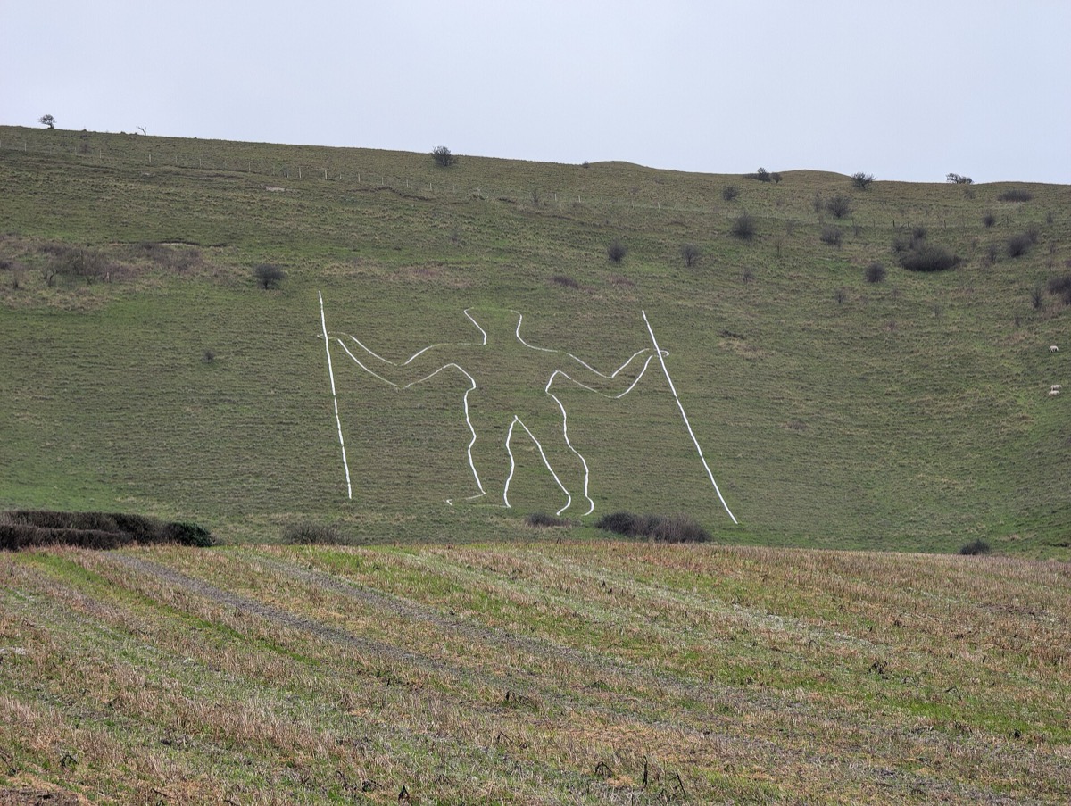
The Long Man stands on the steep slope of Windover Hill near Wilmington, 72 metres (235 feet) tall and holding a staff in each hand, drawn so that he looks in proportion when seen from below. For years he was thought to be Iron Age or even Neolithic, but an archaeological investigation in 2003 showed that the figure may have been cut in the 16th or 17th century.
The earliest known record is a drawing made by the surveyor John Rowley in 1710, discovered in 1993 in the collections at Chatsworth House; before that, the earliest known was William Burrell's of 1766. In 1873 the outline was marked out in bricks, replaced in 1969 by the white-painted breeze blocks we see today, so his shape has changed slightly over time. The best view is from the lane below, near Wilmington village.
Chanctonbury Ring
High on the Downs above Washington and Steyning, Chanctonbury Ring is a roughly circular earthen rampart and ditch thought to date from the late Bronze Age or early Iron Age. After a few centuries of use it was abandoned, then reoccupied in the Roman period, when two Romano-British temples were built inside it.
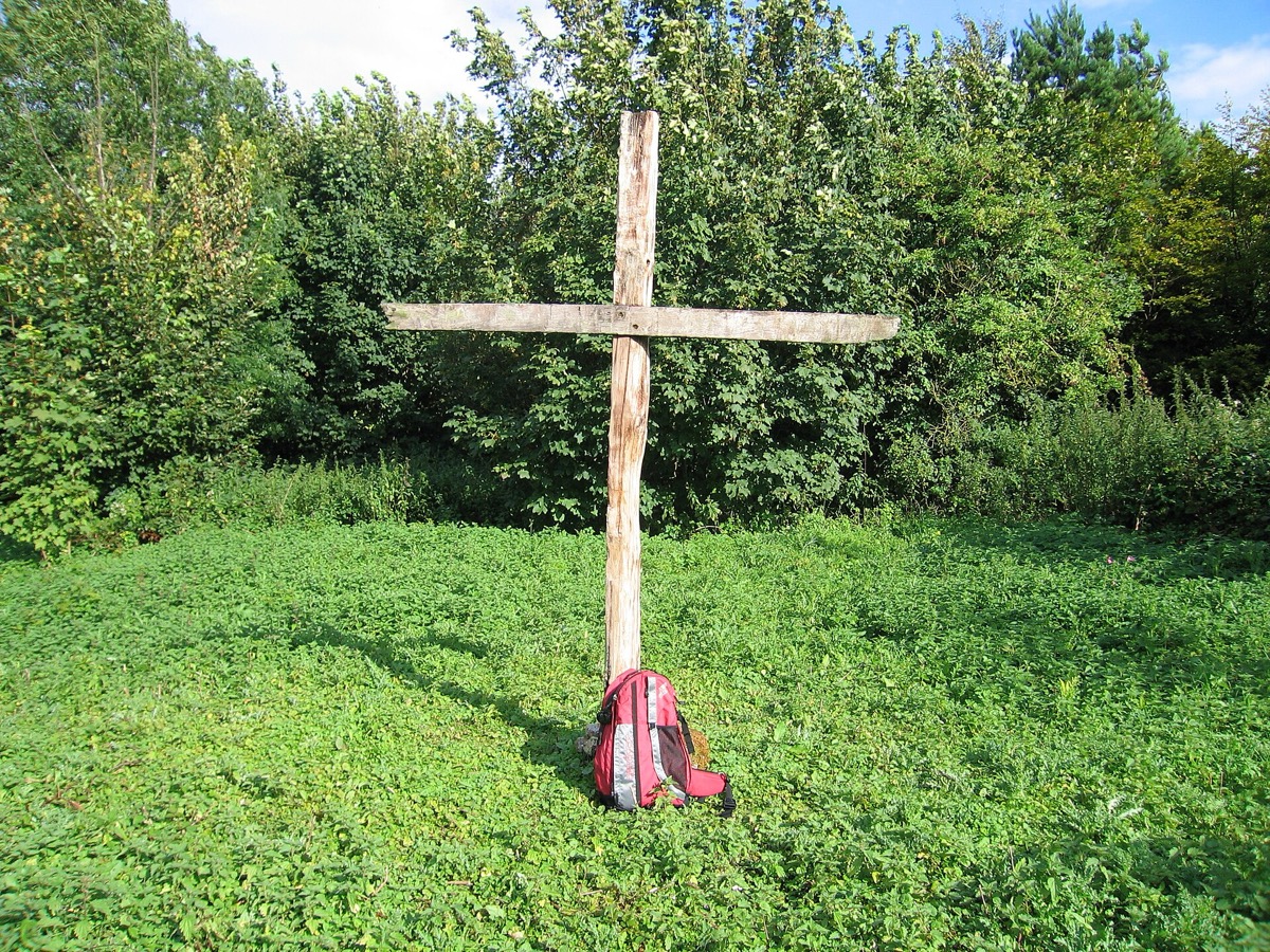
In the mid-18th century a landowner planted a ring of beech trees around the rampart, which became one of the most famous landmarks in Sussex until most were destroyed in the Great Storm of 1987. Replanted trees now crown the hill again. At around 241 metres it is one of the high points of the western Downs, and the South Downs Way runs right past it.
Devil's Dyke
Five miles north-west of Brighton, Devil's Dyke is a V-shaped dry valley about 100 metres deep, the result of meltwater and slipping soil when the chalk was frozen during the last ice age. The hills around it rise to 217 metres, with views over the Weald and, on a clear day, to the Isle of Wight. The ramparts of an Iron Age hill fort survive on the top. It is cared for by the National Trust.
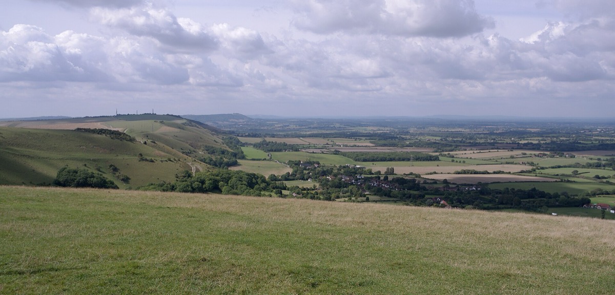
Legend says the Devil dug the valley one night to let the sea flood the churches of the Weald, but fled when an old woman's candle made a cockerel crow and he fled, thinking dawn had come. In late Victorian times it was a major attraction, with a fairground, bandstands and a camera obscura, a branch railway from Hove (1887–1938), a cable car across the valley (1894–1909) and a steep funicular from Poynings (1897–1909).
Ditchling Beacon
At 248 metres (814 feet), Ditchling Beacon is the highest point in East Sussex and the third highest on the South Downs, after Butser Hill and Crown Tegleaze. Its steep northern face looks down on the village of Ditchling and across the whole of the Weald.
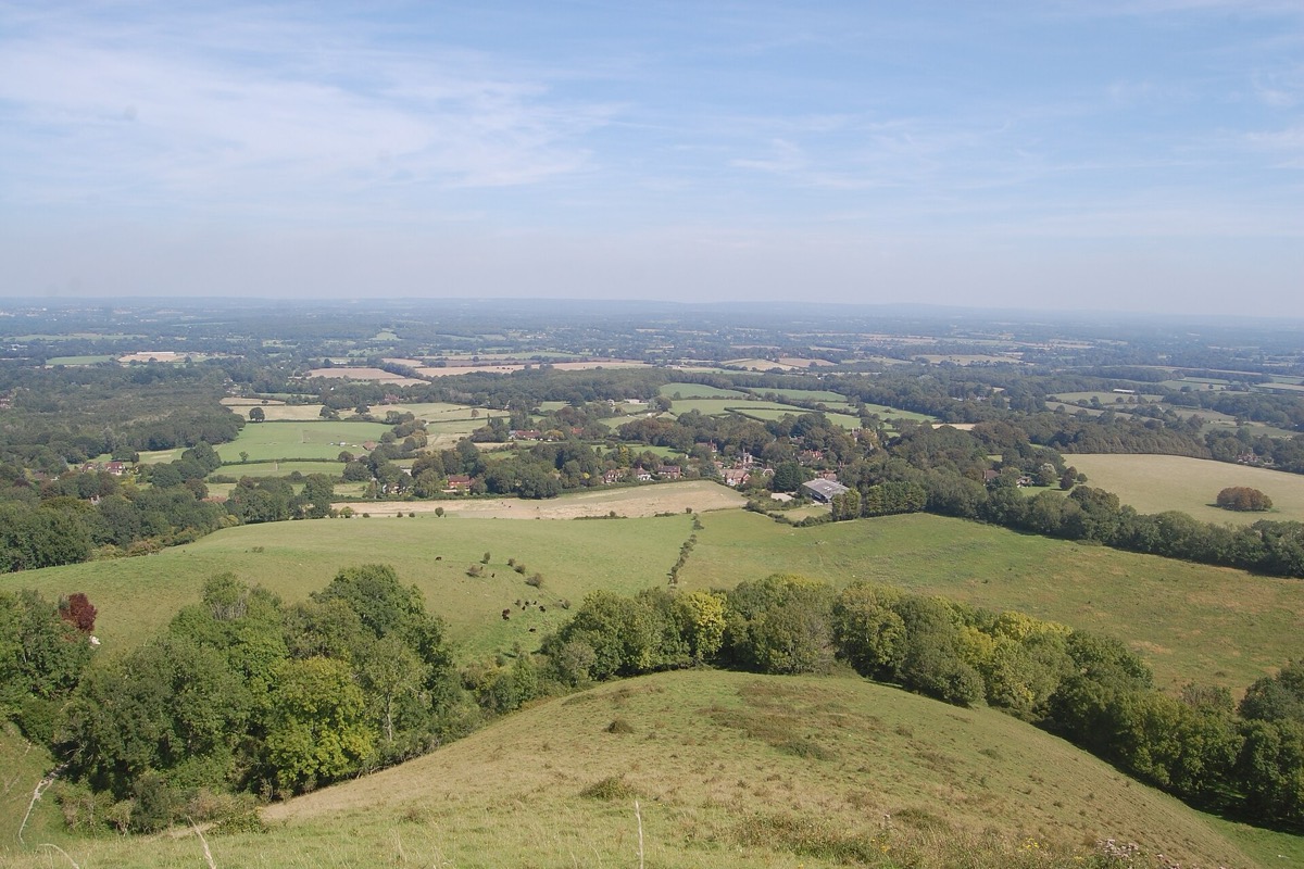
The Beacon was an Iron Age hill fort, and its ramparts can still be traced on the north and east sides. Part of the hilltop is a nature reserve of chalk grassland managed by the Sussex Wildlife Trust. Cyclists know it as one of the toughest climbs in the South: it featured in the Tour de France in 1994.
What to See & the Best Walks at Downland Landmarks
A classic route links Devil's Dyke and Ditchling Beacon along the South Downs Way, about five miles with wide views all the way. Chanctonbury Ring makes a fine circular walk from Washington or Steyning, and the Long Man is an easy walk from Wilmington village, continuing up Windover Hill for views over the Cuckmere.
Wildlife at Downland Landmarks
The chalk grassland on these hills is some of the richest in Britain, with orchids, cowslips and wild thyme and, in summer, chalkhill blue butterflies. Skylarks sing overhead in spring, and buzzards and red kites hunt along the ridge.
Gardens, Countryside & Antiques near Downland Landmarks
Our guides to Steyning, Henfield and Alfriston cover the villages below the hills, and Beachy Head & Birling Gap is a short drive from the Long Man. Walk the South Downs Way to link them, and see our South Downs guide.
For a family day nearby, try Drusillas Park near Alfriston or Knepp Wildland north of Steyning.
Downland Landmarks Through the Seasons
Spring brings skylarks and cowslips, and early summer the orchids. High summer is best for butterflies and long evenings on the ridge. Autumn and winter give the clearest views, but the tops are exposed, so dress warmly and check the weather.
Getting to Downland Landmarks
Hassocks station is the nearest for Ditchling Beacon and the Dyke; a bus runs from Brighton to Devil's Dyke, more often in summer. For the Long Man, the nearest stations are Berwick and Polegate; for Chanctonbury, use Steyning buses. There are National Trust car parks at Devil's Dyke and Ditchling Beacon.
Downland Landmarks: Questions & Answers
How old is the Long Man of Wilmington?
He was long thought to be prehistoric, but a 2003 investigation suggested he may have been cut in the 16th or 17th century. The earliest known record is a drawing of 1710.
What is the highest point in East Sussex?
Ditchling Beacon, at 248 metres (814 feet). It is the third highest point on the South Downs, after Butser Hill and Crown Tegleaze.
Our Advice
Our advice: Choose one landmark per walk and go on a clear day. If you only have time for one, walk from Devil's Dyke to Ditchling Beacon along the ridge: it is the South Downs at their most glorious.
Facts checked October 2026. Sources: Wikipedia: Long Man of Wilmington · Wikipedia: Chanctonbury Ring · Wikipedia: Devil's Dyke, Sussex · Wikipedia: Ditchling Beacon · nationaltrust.org.uk. Opening times and prices change, so please check before you travel.